Driving 60 miles south from Phoenix via Interstates 10 and 8 is the standard route into the remote Sonoran Desert National Monument. Travelers without vehicles can ride the Valley Metro Rail from Sky Harbor Airport to reach urban botanical sites and local tour operators.
Sonoran Desert National Monument, Vekol Road, Maricopa, AZ
Drive south on Interstate 10 from Phoenix and merge onto Interstate 8 heading west. Take Exit 144 for Vekol Road and turn south to enter the monument's central corridor. Standard passenger cars easily handle the paved highways leading to the boundary. The route covers 60 miles of flat desert terrain before transitioning to unmaintained dirt tracks. Fill your gas tank completely and verify your full-size spare tire before leaving the city.
Light rail trains link Phoenix Sky Harbor Airport to downtown Phoenix, Tempe, and Mesa. The route bypasses highway traffic and stops near urban desert attractions like the Desert Botanical Garden. Tracks do not extend into the remote national monument. Riders use these stations to connect with local tour operators who provide wilderness transportation. Designated seating accommodates mobility devices and electric wheelchairs. Buy a $4.00 day pass at the station kiosks before boarding.
Navigate over 460 miles of primitive, unpaved roads cutting through the monument's interior. High-clearance or four-wheel-drive vehicles handle the rugged terrain, wide valleys, and mountain passes where standard cars get stuck. Drivers must stay on posted Bureau of Land Management routes, as off-trail driving violates federal law. There are no gas stations, tow services, or trash collections in the backcountry. Pack at least one gallon of water per person per day.
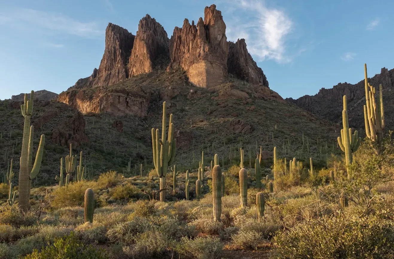
State Route 238 provides a fully paved crossing between Gila Bend and Maricopa. This lateral highway skirts the desert monument's northern edge and passes the barren rock peaks of the Maricopa and Sand Tank mountains. Drivers avoid the unmaintained dirt roads found deeper inside the protected lands. Cellular signals drop frequently along this isolated stretch. Download digital maps and GPS routes before leaving town.
Board the Sabino Canyon tram for a controlled ride directly into the desert terrain. The open-air vehicle features designated seating for mobility devices, offering an accessible alternative to hiking rugged trails. Passengers view the biologically diverse landscape and towering saguaro cacti without navigating steep grades manually. Extreme summer temperatures frequently exceed 110°F during the ride. Wear a wide-brimmed hat and polarized sunglasses, as the tram provides minimal shade.
The remote Sonoran Desert National Monument lacks formal parking lots, street parking, and taxi drop-offs, offering only free vehicle access along unmaintained primitive roads. Drivers enter the central corridor at Exit 144 for Vekol Road off Interstate 8. Visitors requiring accessible infrastructure can find paved paths and electric wheelchair rentals at the nearby Desert Botanical Garden.
| From | Mode | Time | Cost | Tip |
|---|---|---|---|---|
| Phoenix | Car | 1 hour | Free (excluding fuel) | Take Interstate 10 south, merge onto Interstate 8 west, and use Exit 144 for Vekol Road to reach the central corridor. |
| Phoenix Sky Harbor Airport | Valley Metro Rail | 45 minutes | $2.00 single ride, $4.00 day pass | Ride the light rail to downtown Phoenix, Tempe, or Mesa to access urban sites like the Desert Botanical Garden. Trains do not travel to the remote monument. |
| Saguaro National Park (Tucson area) | Car | 1.5 hours | Free (excluding fuel) | Fill your gas tank completely and verify your full-size spare tire before driving out. Monument roads are unpaved and unmaintained. |
| Arizona-Sonora Desert Museum | Car | 1.5 to 2 hours | Free (excluding fuel) | Download digital maps before starting the engine. Cellular signals fail entirely once you enter the remote desert boundaries. |
High-clearance or four-wheel-drive vehicles handle the 460 miles of unpaved, primitive roads open for motor touring. Standard passenger cars frequently get stuck on these rough routes. Fill your gas tank completely and pack a full-size spare tire before leaving the pavement.
Cellular signals fail across most remote areas of the national monument. Download digital maps and GPS routes before you leave, and pack a physical map and compass. Standard vehicle navigation systems lose tracking in the backcountry.
Accessing the Sand Tank Mountains south of Interstate 8 requires a Barry M. Goldwater Range permit. The pass is free, but you must obtain it online after watching a mandatory 13-minute safety video. State trust lands require a separate Arizona recreation permit.
The Sonoran Desert National Monument provides zero drinking water or trash collection. Pack at least one gallon of water per person per day, plus a secondary water source. Drink continuously on the trail, even before you feel thirsty.
Summer temperatures frequently exceed 110°F between late April and September. Start strenuous hikes at sunrise to avoid heatstroke and dehydration. The best months for outdoor recreation run from late October to mid-April.
Drive south on Interstate 10 from Phoenix and merge onto Interstate 8 heading west. Take Exit 144 for Vekol Road and turn south to enter the monument's central corridor. State Route 238 provides an alternative paved path crossing between Gila Bend and Maricopa.
High-clearance or four-wheel-drive vehicles are necessary to navigate the primitive, unmaintained dirt roads. Standard passenger cars frequently get stuck on these rough, unpaved routes. Fill your gas tank completely and pack a full-size spare tire before leaving the pavement.
The Valley Metro Rail connects the airport to urban desert sites like the Desert Botanical Garden, but it does not run to the remote national monument. A single ride costs $2.00, and a day pass is $4.00. The 30-mile ride to downtown Phoenix, Tempe, or Mesa takes roughly 45 minutes.
Entry to the Sonoran Desert National Monument and its wilderness areas is completely free and requires no general passes. Visiting the Sand Tank Mountains south of Interstate 8 requires a free Barry M. Goldwater Range permit. You must watch a 13-minute safety video online to obtain this specific pass.
Motorized vehicles and mechanical transport are strictly prohibited inside designated wilderness areas. Drivers must keep all off-highway vehicles on the 460 miles of posted primitive BLM routes. Venturing off these specific dirt tracks violates local laws.
Cellular signals drop out completely in most remote sections of the monument. Download all digital maps and GPS routes before leaving the highway. Carry a physical map and compass, as standard vehicle navigation systems often fail on unmapped dirt tracks.
The monument provides zero drinking water and no trash collection services at any arrival point. Pack in all supplies, carrying a minimum of one gallon of water per person for each day. Practice Leave No Trace principles by hauling out every piece of garbage you generate.
Browse verified tours with free cancellation and instant confirmation.
Find Tours